The new year has rung in its first month with extreme temperatures and precipitation, breaking records that had stood on Vancouver Island for more than a century.
A vortex that brought sub-freezing air and snow from the Arctic one week was countered days later by the balmy winds of a Pineapple Express from the Pacific Ocean that swept away ice and snow with heavy warm rains.
“This has been one weather whiplash of a month, I’ll say that much,” said Armel Castellan, Environment Canada meteorologist.
Despite recent warm air flowing over B.C.’s south coast from south Pacific Ocean, January was actually 0.7 C cooler than normal, overall, at 2.8 C compared the month’s normal average of 3.5 C.
And it was wet.
“We started with some pretty big snow events and a lot of rain, as well, at the start of the month and at the end,” Castellan said.
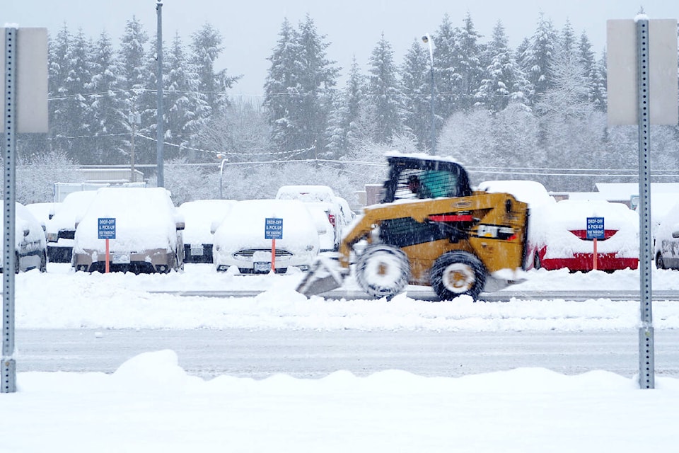
Storms dumped 273 millimetres of rain and snow for the month, about 45 per cent more than the normal 188mm, making January 2024 the 13th wettest since record-keeping started in 1892.
“Of course, that’s coming on the heels of dryness in November, December, so that’s one thing of note. What I’ll also say is with the extremes … the devil’s in the details,” Castellan said.
In the mid-Island, the records just kept on falling.
- Jan. 8 saw 51.5mm of rain, which eclipsed the previous 47mm of rainfall recorded for the day in Nanaimo in 1953.
- Jan. 12 set temperature records for the lowest high temperature at -6.3 C, breaking the -5.3 C record from 1950, and the low temperature for the day was -14.8 C versus -10 C set in 1998.
- Jan. 13 the mercury plummeted to -15.8 C, eclipsing the the -13.9 C record set for the day in 1950.
- Just as temperatures started to rise, Jan. 16 dawned to see 17 centimetres of snow fall at Nanaimo Airport, breaking another daily record of 10cm set in 2000.
“[At] the end of the month, in the last few days, we’ve been pummelled with this subtropical feed,” Castellan said. “The west side of the Island saw the most dramatic rain amounts, well upwards of 600mm for five days for places like Kennedy Lake … but the Nanaimo side a lot of it came as warmth, so that’s where the records were broken.”
Monday, Jan. 29, there was a new daily high temperature record of 16.9 C, besting the 14.6 C record set in 1995.
“Maybe more impressive still, the minimum temperature was down only to 9.4 C, whereas the previous high minimum was in 1912 at 7.2 C,” Castellan said.
He said multi-year drought conditions started in 2022 and continued in 2023 with July-like temperatures in May that set up extremely difficult conditions for wildfires, agriculture and the ecosystem in general. There is a “high probability” for warmer temperatures in February, March and April.
READ ALSO: Daily heat records fall as 15.2 C weather hits Greater Victoria
READ ALSO: Weather pattern in January full of surprises
Warm temperatures and rain have already impacted the area’s water supply for the coming summer season.
Bill Sims, the City of Nanaimo’s general manager of engineering and public works, said residents can expect to see earlier-than-usual watering restrictions in the event that the late-season snowpack does not develop.
“The snowpack has been seriously depleted with this latest round of pineapple expresses,” Sims said in an e-mail. “We are preparing for it to be a wintertime drought as far as snow is concerned. There’s lots of liquid water, which we’ll start storing earlier than normal in case we don’t build our usual late-season snowpack.”
He said snowpack levels and the south Nanaimo River watershed around Jump Lake – the city’s water source – can rise quickly when snowstorms happen in February, March and April, which is hoped for again this year.
“We’re always concerned and, as the saying goes, planning for the worst, hoping for the best,” Sims said.
Environment Canada is predicting slightly cooler temperatures on the weekend, but sunny skies, extending into at least Wednesday, Feb. 7, which is good news for cyclists participating in Winter GoByBike week which in Nanaimo goes from Monday to Friday, Feb. 5-9.
READ ALSO: Weekend winter weather sets record low temperatures in Nanaimo